Earth Observation Solutions
Harnessing the power of satellite imagery.


Earth Observation Solutions
Harnessing satellite data
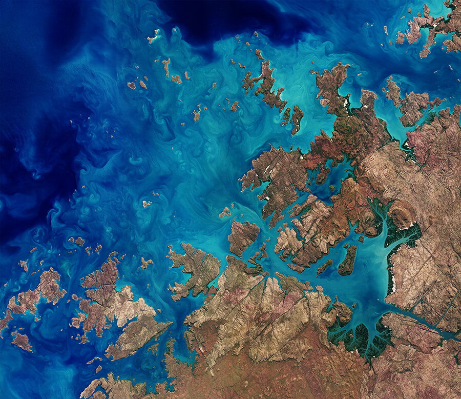
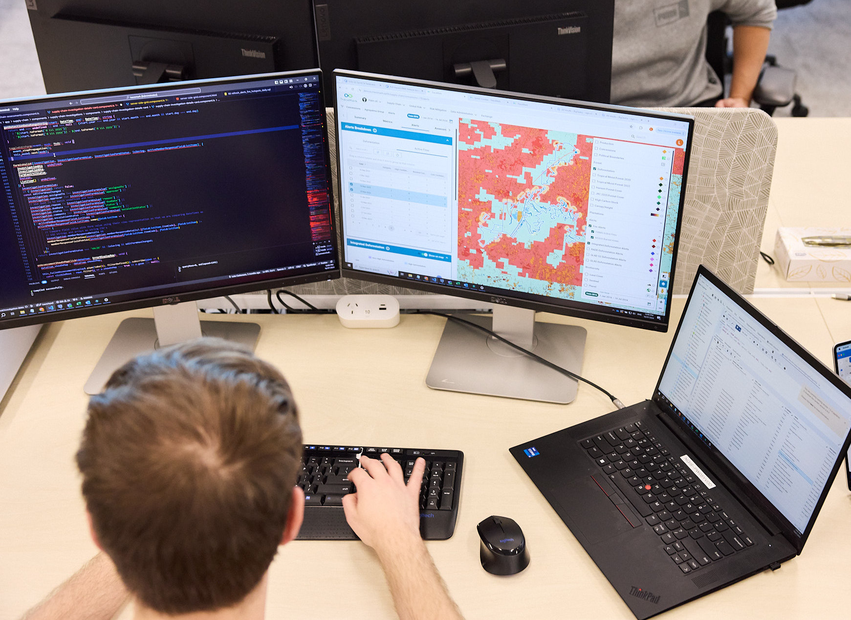
NGIS’s Earth Observation solutions transform satellite data and aerial imagery into valuable insights, tailored to industry-specific needs. Our team of Data Scientists and Machine Learning experts can deliver near real-time insights to support decision-making at all scales. These solutions are purpose-built for detecting and monitoring changes across vast areas, ideal in sectors such as mining and resources, agriculture, climate change, and sustainability. NGIS can work with you to extract what you need and visualise it in a manner that your business, regulators or even your own clients, can readily understand.

Earth Observation solutions
Preserving our planet
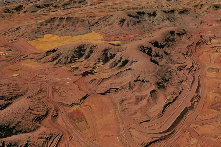
Our Earth Observation insights enhance operational efficiency and foster a more sustainable planet for future generations. The impact of these insights includes deforestation detection, crop health monitoring and water resource tracking to manage and conserve water supplies effectively. Our insights also detect illegal mining, helping to protect natural landscapes and promote legal compliance.


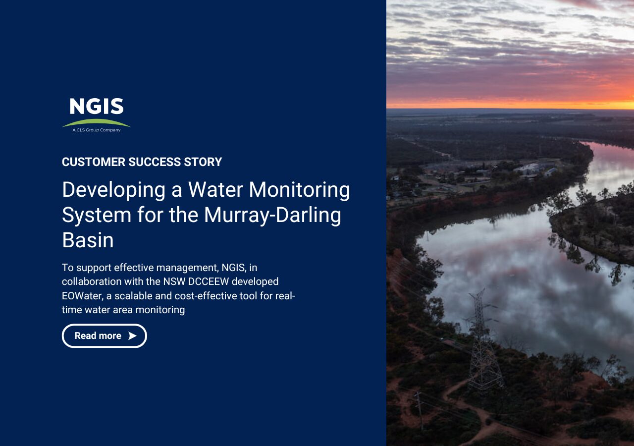
Developing a Water Monitoring System
for the Murray-Darling Basin
Freshwater resources are critical for sustaining ecosystems, agriculture, and communities. However, monitoring them effectively presents significant challenges, particularly across large and environmentally sensitive regions.
To support effective management, NGIS, in collaboration with the NSW Department of Climate Change, Energy, the Environment and Water (NSW DCCEEW) developed EOWater, a scalable and cost-effective tool for real-time water area monitoring
Our Earth Observations Services
Our Earth Observation specialists combine expertise in satellite imagery, remote sensing, and advanced analytics to deliver tailored monitoring solutions across diverse environments. We work closely with your team to identify the most appropriate data sources, analysis techniques, and delivery methods to address your specific challenges. From rapid change detection to long-term environmental monitoring, our solutions transform complex spatial data into clear, actionable intelligence that supports strategic decision-making and operational requirements.
Tailored Satellite Imagery Analysis
Targeted Aerial / Drone Data Processing
Environmental Monitoring Solutions
Change Detection and Reporting
Customised Geospatial Analytics
Unlocking insights from space
Earth Observation harnesses the power of satellite imagery and advanced machine learning techniques to deliver crucial insights across various sectors. By providing precise and actionable information, NGIS empowers organisations to make informed decisions that positively impact their business and the environment.
Explore more of our industry-leading services
Enterprise GIS
Enterprise GIS enables businesses to manage and utilise geographic information across their entire operation, leading to better decision-making, streamlined operations, and more effective collaboration. NGIS provides expert advice and consultancy on how to leverage the latest GIS technology to meet your unique business objectives
Capability Building
Enterprise GIS enables businesses to manage and utilise geographic information across their entire operations, leading to better decision-making, streamlined operations, and more effective collaboration. NGIS provides expert advice and consultancy on how to leverage the latest GIS technology to meet your unique business objectives

Geospatial Technology Solutions
NGIS is an independent geospatial partner and distributor for the world’s leading software, data, and technology product providers. We deliver business consulting, technical workshops, and advisory support to optimise your use of these cutting-edge tools.
DISCOVER the power of geospatial
Contact us
We welcome you to contact us so we can understand your unique challenges, and together we can set a path using the power of geospatial.


