What are the key trends in geospatial data for 2023

Can you believe a whole quarter of 2023 has passed? During this quarter, our teams have been busy building the next generation of geospatial enterprise solutions for various industries, such as sustainability, utilities, emergency management, and Government agencies. We have curated a list of our favourite emerging trends that are helping us solve your challenges with geospatial technology and GIS, as well as some thought-provoking trends for the future.
The latest artificial intelligence
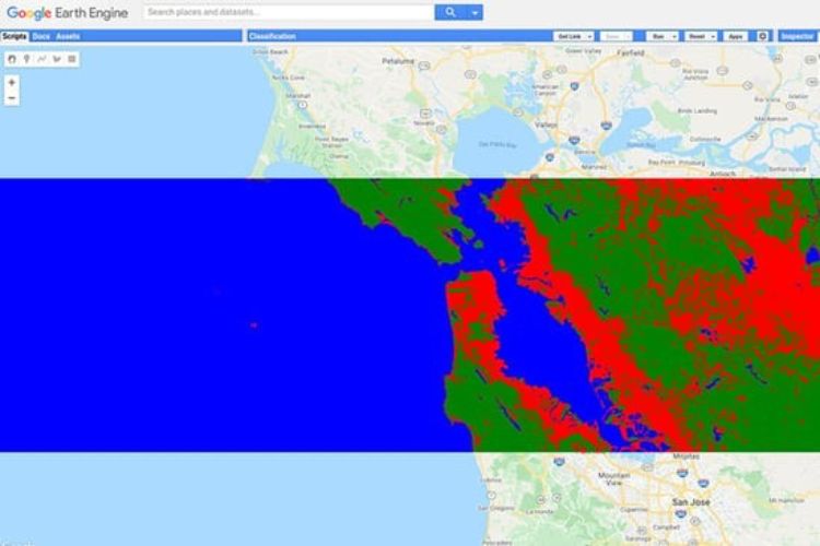
Artificial intelligence (AI) and machine learning (ML) play a key role in several of our teams, who transform satellite imagery pixels into answers and insights for organisations looking to leverage a world of data to address specific outcomes. This includes monitoring ocean temperature, quantifying vegetation disturbance, crop health, detecting land change, and analysing the impacts of climate change.
The use of AI at NGIS is not new, but the growth of tools – including geospatial AI and open automation software – has rapidly evolved, and made uptake, access, and knowledge of these processes available to more individuals. These tools have also expanded into novels areas of language, writing, and memory sharing, such as ChatGPT4, however there’s still a need for a human involvement to ensure ethical and integral use of these tools and to ensure meaningful outputs for decision-making. A collaborative approach between tools and people-based processes is the best path for successful outcomes with geospatial data. If you would like to learn more about GeoAI and ML capabilities, we run a online two day course focused on advanced Machine Learning capabilities in Google Earth Engine.
Cloud adoption and modernisation with Google Cloud
Google Cloud recently announced the world’s largest publicly available ML hub with Cloud TPU v4, which uses 90 per cent carbon-free energy as part of Google’s commitment to sustainability. Google’s cloud infrastructure and tools are amongst the cleanest available and we use Google’s state-of-the-art ML for our workloads.
According to Steren Giannini, Group Product Manager at Google, everyone wants to build geospatial and mapping applications that are “…fast, secure, cost-effectively, simple, and reliable. But in the face of climate change, building applications that are sustainable is just as important.”
Cloud-based GIS is becoming the norm, as it allows for increased accessibility and scalability, making it easier for organisations to share and collaborate with GIS data. Computing resources on demand provides efficiency gains and faster geoprocessing. Cloud processes also make it possible to have real-time updates, tracking capabilities, crowd-sourced information, and integration with online devices and business systems. This is key to evolving geospatial capabilities away from single desktop-based programs and towards replicable scripts and fully online enterprise systems that can provide not only data but also answers to geospatial questions on demand.
Adopting and modernising your cloud infrastructure will reduce the time taken to gain value from your data and enable you to leverage new AI/ML tools available. However, it’s crucial to plan your cloud implementation carefully to ensure its sustainability in the long run.
Knowledge gaps with the latest GIS developments
The geospatial industry is reaching a level of maturity where most non-experts use geospatial data without realising it! From an executive wanting to assess their ESG reporting goals to a financial analyst reviewing location-based insurance suitability. These require a heavy digital geospatial data element. However, these users might not be privy to the depth and breadth of calculations required.
In the examples above, the information could originate from a long chain of earth observations, such as a PlanetScope satellite image translated into water or temperature values, converted into a simple number, and annotated on an image for a report hosted online. There could be multiple cloud processes, systems, and scripts required to get to the result.
Furthermore, as it has become feasible and practical to integrate geospatial processes into many everyday tools, organisations that are falling behind in the cloud and GeoAI/ML technology boom could be feeling lost at this point without some form of location intelligence.
It is also possible for further adoption of geospatial within any organisation to provide small systemic wins. This could include areas such as utilities and natural resource management systems, urban planning (greening urban heat islands), building infrastructure for the sharing economy, all of which require geospatial data and cloud processes to deliver outcomes effectively and efficiently for everyday decision-making. There is currently growth trend towards using digital twins as a ‘rule-as-code’ to fill in gaps in knowledge and understanding.
Key concerns for these systems include continual data quality and management, reuse of data for other purposes, adhering to government policies and regulations, and staying current with and adopting new technologies. Advisory and planning services for geospatial systems have an important role to play in ensuring these are followed adequately.
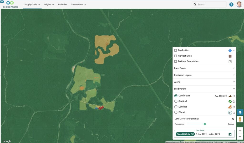
Example of location intelligence, Planet 2023.
Digital trust with the introduction of AI technology
As we consider the future of geospatial technology, trust emerges as a critical question. How can we ensure that what we see in a digital twin is accurate and current? How can we distinguish between what is generated by AI versus human input? And how can we verify the precision of models and their outputs?
To test this, we thought it would be fitting to ask an AI chatbot what’s next. We asked ChatGPT it’s thoughts on future trends for GIS. According to chat.openai.com, here are some new and future trends in GIS that are worth paying attention to:
- 3D GIS: 3D GIS is becoming more popular, allowing for more realistic representation of terrain and buildings in GIS, this can be useful for Urban Planning, architecture and engineering, and more.
- Drones and Remote Sensing: Drones and remote sensing technologies are becoming more widely used for data collection in GIS, allowing for more efficient and cost-effective data collection.
- Virtual and Augmented Reality: VR and AR technology are being integrated with GIS to create immersive and interactive spatial experiences. This can be used in fields such as tourism, real estate and urban planning.
- Internet of Things: GIS will increasingly be integrated with IoT to enhance data collection and analysis. This will allow organizations to gather and process more data than ever before, leading to more accurate and detailed insights.
- Open data and open-source GIS software: There is a growing trend towards open data and open-source GIS software, which allows for greater collaboration and accessibility.
- Spatial Data Science: GIS is increasingly being used as a tool for data analysis, visualization and modelling in a spatial context.
- Quantum GIS: With the increasing availability of Quantum computers, GIS could potentially benefit from the speed and power of these machines, allowing for even more advanced analytics and simulations.
- Automated Mapping and Cartography: Advances in AI and machine learning will automate many of the tedious and repetitive tasks associated with map making, such as data processing, feature extraction, and map generalization.
We’ll let you evaluate how well the AI chatbot did. If you would like to have a discussion about AI/ML or any of the trends above in your workplace, get in touch today.
Related Articles
Here are more related articles you may be interested in.


