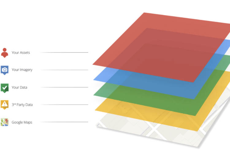
How the Google Maps Platform will be structured

Google Maps API has rebranded as the Google Maps Platform. The platform now aligns with Google’s Cloud Platform in the billing and application console structure. As part of their rebranding, Google Maps Platform have regrouped the APIs under three parts: Maps, Routing and Places.
In the past, APIs were referred to individually or as part of technical categories such as ‘Map Loads’, ‘Web services (server side)’ and ‘Places API Requests (server & client side)’.
This often lead to conversations filled with technical jargon rather than simple and clear definitions. While the API names and functionality will remain the same, they will now be grouped simply as Maps, Routes and Places.
Maps
Routes
Places
-
JavaScript Maps
-
Static Maps API
-
Street View API
-
Embed API
-
Directions API
-
Distance Matrix API
-
Roads API
-
Places API
-
Geocoding API
-
Geolocation API
-
Time Zone API
-
Elevation API
As part of a broader shift towards a model more akin to Google Cloud, users will now be billed for usage retrospectively meaning they only pay for what they use. Further to this, APIs will be billed individually resulting in a more granular billing model. For example, an application only utilising Javascript Maps and Places API, will only be billed for those two APIs.
This new model will enable more users, particularly those with lower or sporadic traffic, to utilise the Google Maps Platform without the burden of a significant investment upfront.
For more information or clarity on the new Google Maps Platform, get in touch with the Google Maps team at NGIS.
Related Articles
Here are more related articles you may be interested in.
How Satellite based Earth Observation Supports Emergency Response Teams
Natural disasters are an increasingly familiar reality, yet their unpredictability remains a core challenge. This is why preparedness is our best means of mitigating impact when disaster does occur. Satellite technology plays a critical role in enabling this readiness, but why? To understand this, you need only consider the sheer scale and diversity of Australia’s landscapes, waters and ecosystems. The continent spans 7.7 million square kilometres and, relative to its total area, has a low population density. This…United Nations, Google Cloud and NGIS Team Up to Bring AI-Powered Planning to Communities in Crisis
The United Nations International Organization for Migration (IOM), in partnership with Google Cloud and NGIS are advancing data-driven humanitarian planning through the use of AI and Geospatial powered tools, helping humanitarian organisations to analyse the most vulnerable locations across multiple areas and proactively plan for disaster response, climate driven displacement, and long term community recovery. At the centre of the initiative is the…Celebrating Women in GIS: More than Maps
From tracking deforestation to building geospatial tools from the ground up, the women at NGIS are driving impactful real-world outcomes. This International Women’s Day, we spoke to three women across our Earth Observation, software engineering and spatial analysis solutions, to find out what first attracted them to GIS, what keeps them here, and what they’d tell their younger selves starting out.NGIS joins global space-based solutions provider CLS
Media Release | 27th January 2026 NGIS is excited to announce that the company will now be part of CLS (Collecte Localisation Satellites), a global leader in monitoring and surveillance solutions for our Earth. The acquisition marks a significant milestone for the Australian geospatial sector, bringing together NGIS’ world-class geospatial expertise with CLS Group’s expansive reach and innovative capabilities in space-based solutions. Beyond technology and commercial…


