How connected geospatial data is transforming the mining industry

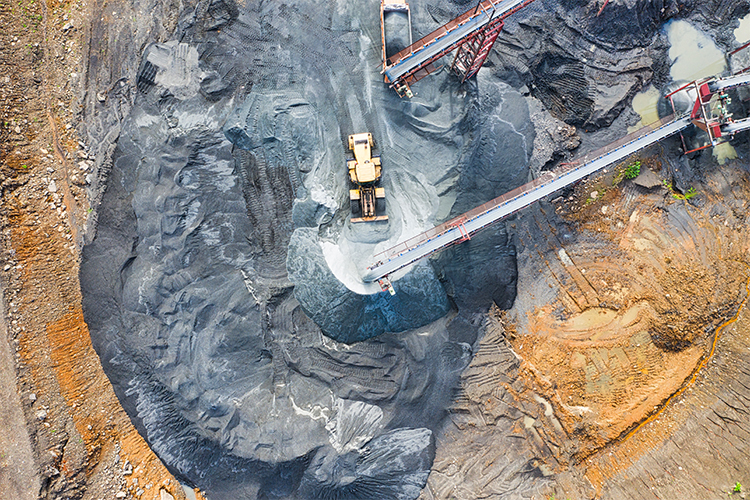
During the lifecycle of a mine, there are large amounts of data being captured across disparate systems. Often, the data that is used to help decision makers operate sites efficiently and sustainably are inherently spatial.
Connecting the different geospatial data sources across the mining life cycle enables business units to have valuable situational awareness across the mine and make informed, data-driven decisions about how their people and resources operate.
By connecting these data sources, what can mine sites achieve?
Building a single source of truth
Each mine site uses a range of data capture methods across the life cycle of a mine. The data collected may be used to:
- Understand culturally significant sites before exploration begins
- Monitor the environmental impacts at the point of rehabilitation through vegetation growth and surface hydrology
- Collect asset management information of haul trucks and loaders during operation
While each data source is captured, owned and managed by individual departments, all data should be stored and accessible in one connected, robust and secure site-wide system.
Creating a single source of truth enables different departments to access and use the same data sources which creates alignment across business units and ensures they’re working from the most up-to-date and accurate dataset.
An example of this is integrating data that uses different coordinate systems – a Local Mine Grid projection and GDA2020 coordinate system. Both systems need to integrate in order to match tenure accurately.
Overall, the ability to connect a mines’ geospatial data can build trust in the data and enables decision makers to understand the whole mine environment before making operational decisions.
Pivoting to remote work
With more businesses adjusting to remote work, mine sites are finding ways to operate and monitor sites remotely as well. Business units can now leverage Earth observation technology to monitor asset performance and assess environmental impact on surrounding areas, from their desktop.
Likewise, by integrating digital twins with Virtual Reality technology, teams can perform compliance checks, learn about the country they’re on and receive induction training, without needing to fly to the site. This saves both an employees travel time and contributes to the bottom line for the business.
Make decisions using real-time information
Working across many different datasets means version currency and control is integral to operating at efficiency.
It’s crucial that teams communicating on dig areas, maintenance schedules and blast exclusion zones across multiple sites, are working together in near real-time to detect potential issues. For example, detecting an overlap of a blast exclusion zone and planned dig area prior to execution can save the mine money, resources and legal issues in the future.
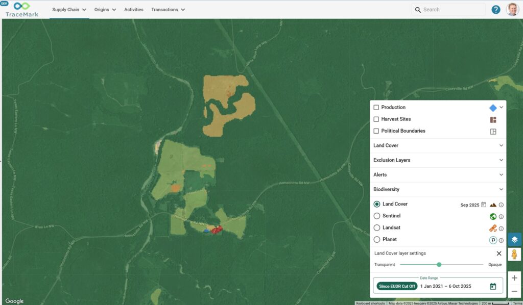
Platforms such as Skyline allows users to feed in data sets from disparate systems and see a living operational picture. This information can help teams gain real-time insights in a single view, provide feedback for early problem detection and remove the administrative time associated with communicating mine plans.
Iron ore mine site, Roy Hill, combatted this through their Demand Chain Viewer, which enabled their team to report and visualise real-time changes to their mining plan.
Equip your team with geospatial skills for your next project
Our team has a wealth of experience when it comes to helping the mining industry leverage geospatial tools and we’re here to help your team learn. Check out our upcoming geospatial training courses using an array of GIS technologies, or reach out to the team to have a chat about your next project.
Related Articles
Here are more related articles you may be interested in.


