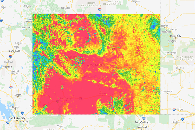
Google Earth Engine commercialisation: What does this mean for businesses?
Over the past decade, academics, scientists and non-government organisations (NGOs) have utilised Google Earth Engine (GEE) to make meaningful progress on some of the world’s biggest environmental and social issues. This has led to thousands of noteworthy scientific publications, operational applications and countless positive real-world impacts – including the 32 projects in the GEO-GEE program tackling social and environmental issues…