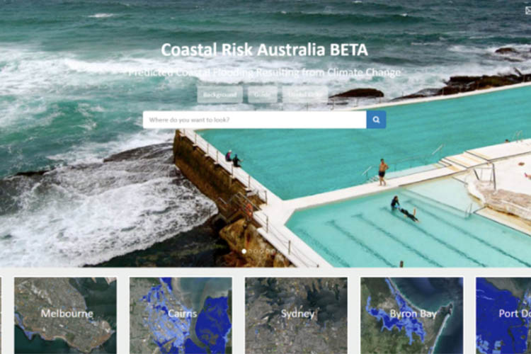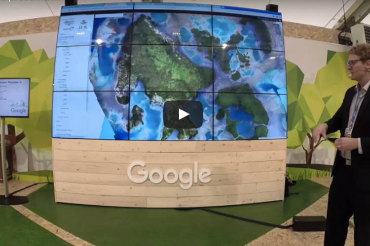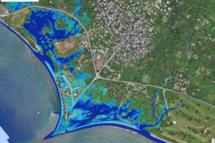
Data-driven approach helping with forestry management
Remote sensing and the increasing use of UAVs are making the management of forestry more accurate than it has ever been. Rapid progress in data capture sensors and techniques in forestry means a massive expansion in the data available to the industry. The opportunity currently presented to the forestry industry is to make this data