Location Matters
A podcast by NGIS. Valuable insights into the geospatial industry with expert discussions and opinions.
Filter
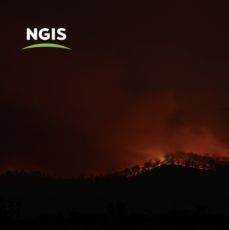
The best data for emergency services CAD systems
HERE Technologies has just been recognised as the top ranked location platform by industry analysts at Strategy Analytics. The annual report benchmarks the world’s largest location companies and ranks HERE, Google, Mapbox and TomTom across seven categories. We were lucky to speak with two experts in the location technology industry recently, and our discussion dives…
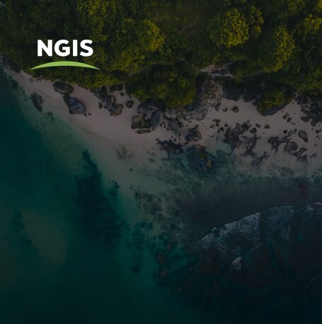
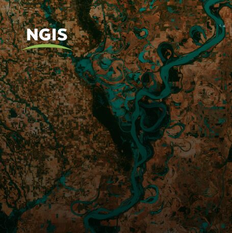
Coastal Risk Australia gets an update.
Location Matters welcomes CEO of FrontierSI, Graeme Kernich to the podcast for the first time to get the scoop on the updated Coastal Risk Australia, climate modelling tool which was first built in 2015. In partnership with FrontierSI, NGIS developed Coastal Risk Australia to illustrate the severity of rising seas based on the latest scientific…
Drone mapping with Karen Joyce
We are excited to have Karen Joyce, She Maps Founder and Senior Lecturer in Remote Sensing, back on the Location Matters podcast this week! Karen sat down with our Senior GIS Consultant, Marty Rocks, and Winyama IT Coordinator, Time Cable, to talk about everything drone mapping. Tune in to this episode to learn about some of…
Empowering women to enter tech careers
Find out what ‘rubber-ducking’ is. Hear why Khia has been crying happy tears and celebrate the perspective that women bring to the table in this special edition of Location Matters, curated in lieu of International Women’s Day. New Location Matters host, Claire Wilson, is joined by guests Kate Kirwin, founder of She Codes, Daphne Yu, Graduate…
What does the Esri utilities upgrade mean for your business?
In this week’s episode we are excited to welcome two colleagues from our new Brisbane office onto the Location Matters podcast to talk about the Esri ArcGIS utilities upgrade. Alex Geer, NGIS Queensland General Manager, and Conway Pene, Principal GIS Consultant have worked on many utilities GIS projects and give us some insight into what…
What is First Nations Earth Observation?
We’re back with a brand new season of Location Matters! To kick off the first episode, we’re joined by Andrew Dowding, Managing Director of Winyama, and Yvonne Fong, Data Scientist at EO Data Science, to discuss the importance of First Nations Earth Observation and how Winyama are working towards seeing more Indigenous communities utilise Earth…
The NGIS upgrade solution
This is the final episode of season three of Location Matters! Thank you to all of our listeners who tuned in this season to hear about the latest trends and technologies in the GIS industry. In this week’s episode our podcast host and Marketing Manager, Sarah Butler co-hosts with our Marketing Coordinator Claire Wilson and…
GEO-GEE project winners: Monitoring ecosystem dynamics in Colombia and Costa Rica
This week’s episode is brought to you from Costa Rica, Colombia and Perth, Australia! We hear from Rafael Monge and Ivan Gonzalez, two project winners of the Group on Earth Observations (GEO) – Google Earth Engine (GEE) program. Our host, NGIS’ Sarah Butler and Yvonne Fong, Data Scientist at EO Data Science chat with the…
What is the Indigenous Data Network?
The Indigenous Data Network (IDN) promotes the access and sharing of data within Indigenous organisations, enabling them to manage and utilise data in more sustainable ways. Our host, Sarah Butler, discusses with Darren Clinch (National Coordinator) and James Rose (Data Analytics Coordinator) of IDN, about ways in which they are working with data and geospatial…


