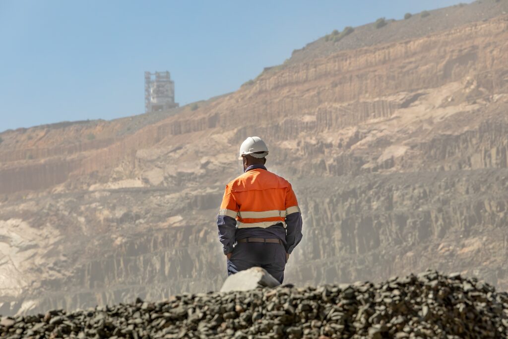
Tailored Training for a Major Mining Company
When a major resource company approached NGIS for training, they already had a clear picture of the skills their team wanted to strengthen. After completing a detailed competency matrix, they came to us with defined knowledge gaps and specific workflows that their staff needed to upskill. This set the foundation for a collaborative and customised…