Seamless mapping platform migration
NPWS website functionalities
OEH supports households, businesses and other government agencies through the provision of advice and direct support, including funding for programs such as energy efficiency. OEH currently employs around 3,000 staff in approximately 300 locations around NSW.
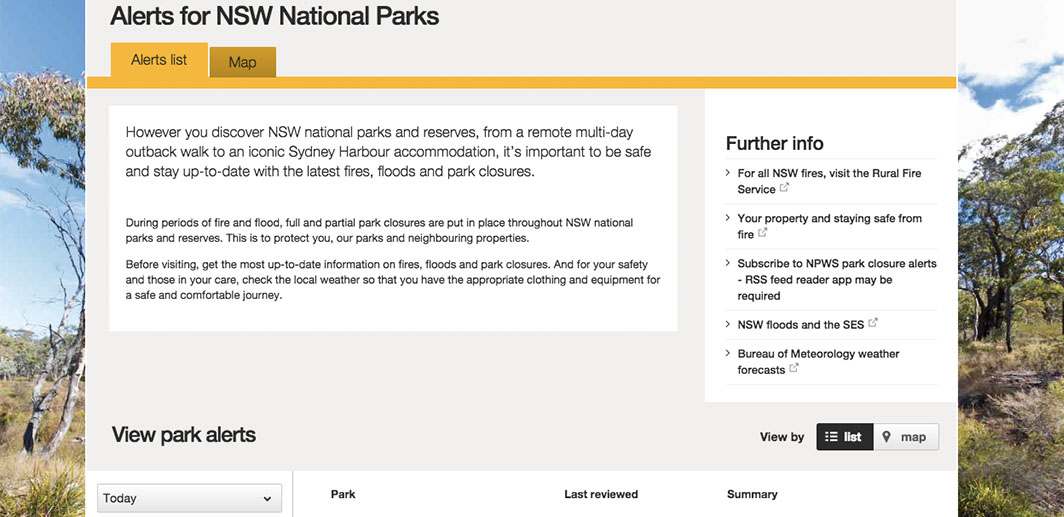
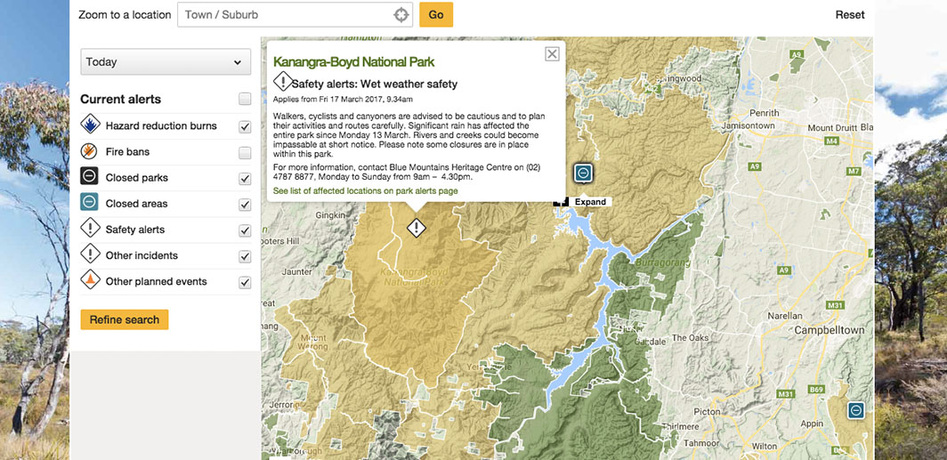
OEH operates the National Parks and Wildlife Service website (NPWS – www.nationalparks.nsw.gov.au), which is the primary source of information for visitor facilities, activities and experiences in national parks around NSW. The website is the OEH’s primary mechanism for dissemination of alerts for fires, park closures and other safety issues in the national parks. The NPWS website further provides information on topics such as education, volunteering, conservation and land management in national parks, for a general audience.
ARCGIS online platform website migration
The NPWS website services 225 national parks, more than 1600 attractions and hundreds of events and tours around the state. The site has thousands of high-quality images and rich mapping functionality. In January 2016, the map infrastructure that OEH used to run its website – Google Maps Engine – was scheduled to be shut down, by the vendor Google meaning they had to migrate to a new platform in order to maintain service.
The website is OEH’s primary public communication tool for emergency situations and general park visitation. It was critical the solution was robust, scalable and retained all existing functionality. Cost of migration, integration with Google Maps API, maintenance and licensing were key factors influencing the decision. NGIS deployed ArcGIS Online, the scalable Esri platform that allows organisations to upload data and create interactive web mapping products.

“There were lots of risks swapping a platform over during the fire season, but it felt to me that it was very collaborative and NGIS and [our web contractors] ADELPHI worked well together and we weren’t put in a position to be a bottleneck. They got on the phone to resolved issues.”
Anthony Hutchings, Manager of digital design and production in the customer experience division at OEH
General and emergency user functionality
NGIS recommended ArcGIS Online because it provided the least amount of code changes to the overall application. Google Maps API was seamlessly integratable and complemented the rest of OEH’s technology stack, as OEH already used Esri products in other functions of their business. Overall, switching to ArcGIS Online provided like for like functionality, minimal changes to code and a scalable solution that was cost effective. With NGIS’ help they made a transition for their 225 parks, with no effects on user functionality for general or emergency communication usage. Kris Egan, Team Leader of Digital Design and Production in the Customer Experience Division at OEH, said he was always confident of maintaining website service.


“I was really impressed by the level of detail from NGIS. There was a high level of confidence from our team. We knew we had a good shot of getting it done on time. Our team was very complimentary.”
Kris Egan, Team leader of digital design and production in the customer experience division at OEH

