CARTO Locations conference wrap up

The future of sophisticated and beautiful web maps is looking rosy following the CARTO Locations conference in Madrid.
NGIS sent two people – Executive Director Richard Bentley and Product Lead Adam Mullett – to the conference on April 19-20 where Location Intelligence platform creators CARTO showed off their road map and their product updates.
The three main take aways from the conference are: the data streams, Airship design library and the launch of vector tiles.
Data streams – use rich premium data sets in your map
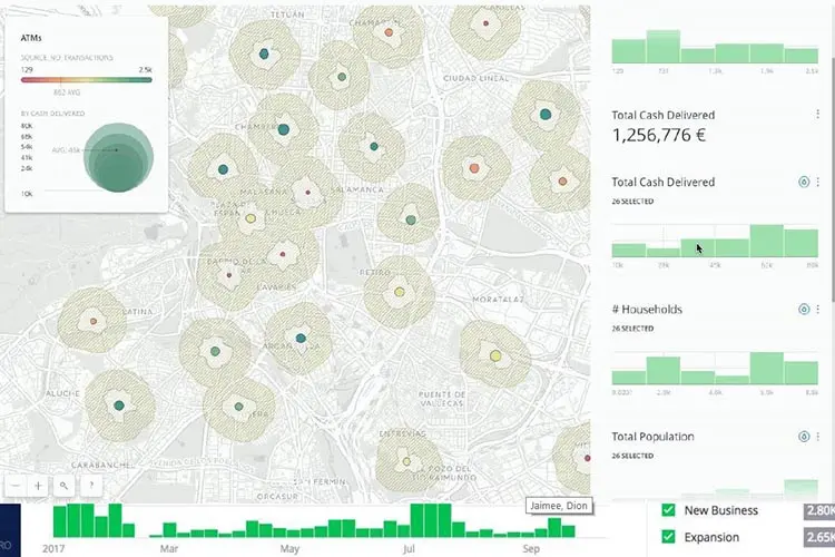
CARTO is introducing premium data sets into their Data Observatory product, complementing the existing Census data available there.
Vodafone data is being used globally to give companies an idea of foot traffic and patronage. Being able to ask questions about where clients come from and go to after visiting your location can help you build a better experience for them or market to your audience more effectively.
Tom Tom provides travel time data and routing information for heavy vehicles and other cars with their network of sensors.
Digital Globe incorporate their data into the Data Observatory so you can get a wealth of information like feature count on vehicles and buildings, or to monitor remote areas.
Credit card data with purchase type, amount, times and more will be available in the near future. CARTO will be making an announcement of a data partner in this space at the end of May.
Waze data can now also be used by cities and councils for free by incorporating it into CARTO’s product Traffico, which shows where congestion is high.
Airship design library – build more beautiful products
Design is a key differentiator for CARTO in the spatial market place and to help developers bring this same level of finesse to their products, a new design library has been open sourced. Airship is a collection of code snippets that will supercharge developers by giving them pre-styled, configurable widgets they can use to make their application beautiful and consistent.
Check out the CARTO Airship github to download all the widgets and start building beautiful maps.
Vector tiles
CARTO’s new vector library brings quick and dynamic mapping to applications you build. CARTO engine can now serve vector tiles which will make quicker and more animated maps that can have features manipulated on the client side. Maps with temporal data can be animated at up to 60 frames per second to tell stories of movement and change with points, lines and polygons.
Related Articles
Here are more related articles you may be interested in.
NGIS joins global space-based solutions provider CLS
Media Release | 27th January 2026 NGIS is excited to announce that the company will now be part of CLS (Collecte Localisation Satellites), a global leader in monitoring and surveillance solutions for our Earth. The acquisition marks a significant milestone for the Australian geospatial sector, bringing together NGIS’ world-class geospatial expertise with CLS Group’s expansive reach and innovative capabilities in space-based solutions. Beyond technology and commercial…The view from the Cuipo Tree: Rethinking Biodiversity Beyond Protected Areas
Biodiversity Biodiversity is often discussed in abstract terms, percentages protected, species at risk, and hectares conserved. Ecological networks operated at vast and local spatial scales. It lives at the intersection of forests and farms, rivers and roads, protected areas and working landscapes. Geospatial intelligence allows us to see these intersections clearly: to understand where species…The Future of Geospatial: Key Trends for 2026
The geospatial sector has evolved and rapidly grown over the past decade, and in 2026, its role within organisations is more critical than ever. What was once primarily used for mapping and visualisation has become a powerful intelligence tool, connecting data, places, and decision-making across industries. As organisations face increasing pressure to operate sustainably, manage…Streamlining ArcGIS License Management with Automation
The increasing complexity of ArcGIS licensing in recent versions has created challenges for organisations managing larger numbers of users with diverse needs. The legacy license manager for ArcMap and earlier versions of ArcGIS Pro, along with a small number of user types and roles, have now been superseded. ArcGIS Pro licensing has now been consolidated into ArcGIS Enterprise and aligned with user types, which themselves have more fine-grained licensing options. Overlaying this evolving licensing…