Increasing accuracy using a map
Precision agriculture platform
Precision farming enabled with mapping technology
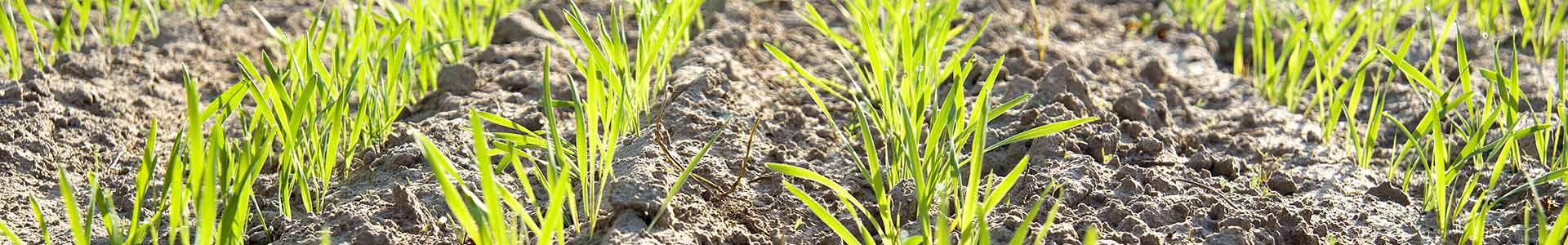
Agriculture in Australia is increasingly technology-driven as farmers install more sensors and use GPS-guided equipment. Manual parts of the job, like soil sampling, are also being made more accurate and repeatable with the use of cloud technology, like FERTview, the platform from CSBP Limited.
The platform helps farmers make data-driven decisions on how much fertiliser to buy and when to apply it to their crops. The platform allows you to view your live digital farm map including biomass imagery, rotation plans, yield data, and sample sites.
NGIS built the platform to work with CSBP's existing stack of planning and analysis tools, including NULogic. FERTview also incorporates the NDVI biomass satellite tool Green Precision, which shows the amount of crop growth month to month, to help farmers close the loop on planning and results.
Making it easy for the user
CSBP have been making fertiliser since 1910 in Western Australia and aim to make their customers as profitable as possible. As technological complexity creeps into farm life, CSBP are looking for ways to get more out of collected data and make data-driven decision making easier.
Fertiliser is a significant input cost in commercial agriculture and ensuring the right amount is applied for optimum yield helps farmers stay viable.
Having a simple platform that assists farmers to take accurate and comparable soil samples and then analyse and store the data makes it is simple to see if they need more fertiliser or not to make their crop as productive as possible.

NGIS were a natural partner and have been terrific in working with our team to provide support and come up with a solution that is going to be world class
Wayne Hiller, Manager services and systems, CSBP
Creating value
NGIS worked in partnership with CSBP to build the FERTview platform. Built on Google Maps, the platform shows farmers visually what is happening on their farm. FERTview brings together many data sources, ranging from the GPS location of a soil sample through to complex biomass calculations based on NDVI imagery from satellites.
The cloud-based solution was designed by NGIS to be easy to use for the user, but work with CSBP's existing and future systems.
Learn more about
Quicklinks