Making access to information easier
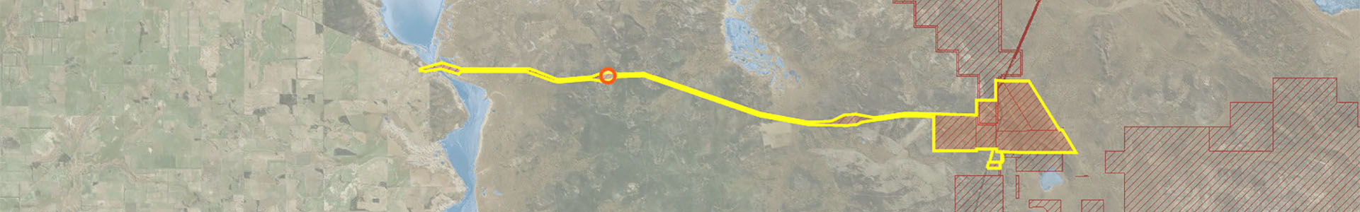
State water register map
Serving public data with minimum effort
The Department of Water and Environmental Regulation is the custodian of water data in Western Australia and wants to ensure it is available to the public in easy to find and usable formats. WA government also want to improve digital service delivery across the board.
The Water Register is a web-based application that allows you to search, view and print information about water availability and licences, free of charge. The water register tool needed to have an easy to use interface so licence holders and members of the public could find and download water information.
While a water register map tool existed previously, it did not reflect the direction the department wanted to take with digital service delivery. NGIS were engaged to build a new, more user-friendly version of the tool on newer Esri software.
Search easily with a map
Users of the water register can search for:
- a property to see if there is a current licence associated with it
- a licence number to determine if it is valid
- a licensee to see if they hold a water licence
The search can also be used to identify the water resources on a property (for determining water availability for new licences) and identify all the current water licences in a resource (to identify trading opportunities).

NGIS were very professional. Tim [Mollison] came to sit with us, which was great because it let us make changes while we were building the tool, so the project owner got what they expected.
- Hamish West, Senior Business Analyst, DWER
A user friendly tool
The department had a tool in place prior to the current water register map, but it did not provide a smooth enough user experience to allow members of the public to access the licence information they needed.
NGIS built a mobile-friendly website with a user-first design to make it easy to find licence information. Built on Esri technology, within three clicks you can go from the landing page to downloading relevant information to help make a decision on whether to trade water or not. The new setup is extensible, so new map functions the department want to implement are easy and quick to build.
Learn more about
Quicklinks